- Canton Champion Fibre Company (2308)
- Cherokee Traditions (292)
- Civil War in Southern Appalachia (165)
- Craft Revival (1942)
- Great Smoky Mountains - A Park for America (2766)
- Highlights from Western Carolina University (430)
- Horace Kephart (941)
- Journeys Through Jackson (154)
- LGBTQIA+ Archive of Jackson County (85)
- Oral Histories of Western North Carolina (314)
- Picturing Appalachia (6772)
- Stories of Mountain Folk (413)
- Travel Western North Carolina (160)
- Western Carolina University Fine Art Museum Vitreograph Collection (129)
- Western Carolina University Herbarium (92)
- Western Carolina University: Making Memories (708)
- Western Carolina University Publications (2283)
- Western Carolina University Restricted Electronic Theses and Dissertations (146)
- Western North Carolina Regional Maps (71)
- World War II in Southern Appalachia (131)
- Appalachian National Park Association (53)
- Berry, Walter (76)
- Champion Fibre Company (5)
- Fromer, Irving Rhodes, 1913-1994 (70)
- Grant, George Alexander, 1891-1964 (96)
- Kephart, Horace, 1862-1931 (23)
- Masa, George, 1881-1933 (17)
- North Carolina Park Commission (105)
- Roth, Albert, 1890-1974 (142)
- Schenck, Carl Alwin, 1868-1955 (1)
- Stearns, I. K. (2)
- Thompson, James Edward, 1880-1976 (45)
- Weaver, Zebulon, 1872-1948 (55)
- Wilburn, Hiram Coleman, 1880-1967 (72)
- Allanstand Cottage Industries (0)
- Bennett, Kelly, 1890-1974 (0)
- Brasstown Carvers (0)
- Cain, Doreyl Ammons (0)
- Carver, George Washington, 1864?-1943 (0)
- Cathey, Joseph, 1803-1874 (0)
- Champion Paper and Fibre Company (0)
- Cherokee Indian Fair Association (0)
- Cherokee Language Program (0)
- Crittenden, Lorraine (0)
- Crowe, Amanda (0)
- Edmonston, Thomas Benton, 1842-1907 (0)
- Ensley, A. L. (Abraham Lincoln), 1865-1948 (0)
- George Butz (BFS 1907) (0)
- Goodrich, Frances Louisa (0)
- Heard, Marian Gladys (0)
- Kephart, Calvin, 1883-1969 (0)
- Kephart, Laura, 1862-1954 (0)
- Laney, Gideon Thomas, 1889-1976 (0)
- McElhinney, William Julian, 1896-1953 (0)
- Niggli, Josephina, 1910-1983 (0)
- Osborne, Kezia Stradley (0)
- Owens, Samuel Robert, 1918-1995 (0)
- Penland Weavers and Potters (0)
- Rhodes, Judy (0)
- Roberts, Vivienne (0)
- Sherrill's Photography Studio (0)
- Smith, Edward Clark (0)
- Southern Highland Handicraft Guild (0)
- Southern Highlanders, Inc. (0)
- Stalcup, Jesse Bryson (0)
- United States. Indian Arts and Crafts Board (0)
- USFS (0)
- Vance, Zebulon Baird, 1830-1894 (0)
- Western Carolina College (0)
- Western Carolina Teachers College (0)
- Western Carolina University (0)
- Western Carolina University. Mountain Heritage Center (0)
- Whitman, Walt, 1819-1892 (0)
- Williams, Isadora (0)
- 1810s (1)
- 1840s (1)
- 1850s (2)
- 1860s (3)
- 1870s (4)
- 1880s (7)
- 1890s (64)
- 1900s (294)
- 1910s (227)
- 1920s (461)
- 1930s (1585)
- 1940s (82)
- 1950s (15)
- 1960s (13)
- 1970s (47)
- 1980s (14)
- 1990s (16)
- 2000s (31)
- 2010s (1)
- 1600s (0)
- 1700s (0)
- 1800s (0)
- 1820s (0)
- 1830s (0)
- 2020s (0)
- Appalachian Region, Southern (81)
- Asheville (N.C.) (3)
- Avery County (N.C.) (6)
- Blount County (Tenn.) (159)
- Buncombe County (N.C.) (204)
- Cherokee County (N.C.) (10)
- Clay County (N.C.) (3)
- Graham County (N.C.) (108)
- Great Smoky Mountains National Park (N.C. and Tenn.) (447)
- Haywood County (N.C.) (262)
- Henderson County (N.C.) (13)
- Jackson County (N.C.) (58)
- Knox County (Tenn.) (21)
- Knoxville (Tenn.) (11)
- Lake Santeetlah (N.C.) (10)
- Macon County (N.C.) (25)
- Madison County (N.C.) (14)
- McDowell County (N.C.) (5)
- Mitchell County (N.C.) (7)
- Polk County (N.C.) (2)
- Qualla Boundary (22)
- Rutherford County (N.C.) (16)
- Swain County (N.C.) (516)
- Transylvania County (N.C.) (36)
- Watauga County (N.C.) (2)
- Waynesville (N.C.) (2)
- Yancey County (N.C.) (34)
- Aerial Views (3)
- Articles (1)
- Artifacts (object Genre) (4)
- Bibliographies (1)
- Clippings (information Artifacts) (77)
- Drawings (visual Works) (174)
- Envelopes (2)
- Financial Records (9)
- Fliers (printed Matter) (34)
- Guidebooks (1)
- Interviews (15)
- Land Surveys (102)
- Letters (correspondence) (219)
- Manuscripts (documents) (90)
- Maps (documents) (86)
- Memorandums (14)
- Minutes (administrative Records) (20)
- Negatives (photographs) (282)
- Newsletters (12)
- Paintings (visual Works) (1)
- Pen And Ink Drawings (1)
- Photographs (1657)
- Portraits (91)
- Postcards (15)
- Publications (documents) (107)
- Scrapbooks (3)
- Sheet Music (1)
- Songs (musical Compositions) (2)
- Sound Recordings (7)
- Speeches (documents) (11)
- Transcripts (46)
- Aerial Photographs (0)
- Albums (books) (0)
- Biography (general Genre) (0)
- Cards (information Artifacts) (0)
- Crafts (art Genres) (0)
- Depictions (visual Works) (0)
- Design Drawings (0)
- Facsimiles (reproductions) (0)
- Fiction (general Genre) (0)
- Glass Plate Negatives (0)
- Internegatives (0)
- Newspapers (0)
- Occupation Currency (0)
- Periodicals (0)
- Personal Narratives (0)
- Plans (maps) (0)
- Poetry (0)
- Programs (documents) (0)
- Questionnaires (0)
- Slides (photographs) (0)
- Specimens (0)
- Text Messages (0)
- Tintypes (photographs) (0)
- Video Recordings (physical Artifacts) (0)
- Vitreographs (0)
- Appalachian National Park Association Records (336)
- Carlos C. Campbell Collection (282)
- Cataloochee History Project (64)
- George Masa Collection (89)
- Hiram C. Wilburn Papers (28)
- Historic Photographs Collection (236)
- Horace Kephart Collection (126)
- Humbard Collection (33)
- Jim Thompson Collection (44)
- Love Family Papers (11)
- Map Collection (12)
- R.A. Romanes Collection (10)
- Smoky Mountains Hiking Club Collection (616)
- Zebulon Weaver Collection (107)
- A.L. Ensley Collection (0)
- Appalachian Industrial School Records (0)
- Axley-Meroney Collection (0)
- Bayard Wootten Photograph Collection (0)
- Bethel Rural Community Organization Collection (0)
- Blumer Collection (0)
- C.W. Slagle Collection (0)
- Canton Area Historical Museum (0)
- Cherokee Studies Collection (0)
- Daisy Dame Photograph Album (0)
- Daniel Boone VI Collection (0)
- Doris Ulmann Photograph Collection (0)
- Elizabeth H. Lasley Collection (0)
- Elizabeth Woolworth Szold Fleharty Collection (0)
- Frank Fry Collection (0)
- Gideon Laney Collection (0)
- Hazel Scarborough Collection (0)
- Hunter and Weaver Families Collection (0)
- I. D. Blumenthal Collection (0)
- Isadora Williams Collection (0)
- Jesse Bryson Stalcup Collection (0)
- John B. Battle Collection (0)
- John C. Campbell Folk School Records (0)
- John Parris Collection (0)
- Judaculla Rock project (0)
- Kelly Bennett Collection (0)
- Major Wiley Parris Civil War Letters (0)
- McFee-Misemer Civil War Letters (0)
- Mountain Heritage Center Collection (0)
- Norburn - Robertson - Thomson Families Collection (0)
- Pauline Hood Collection (0)
- Pre-Guild Collection (0)
- Qualla Arts and Crafts Mutual Collection (0)
- Rosser H. Taylor Collection (0)
- Samuel Robert Owens Collection (0)
- Sara Madison Collection (0)
- Sherrill Studio Photo Collection (0)
- Stories of Mountain Folk - Radio Programs (0)
- The Reporter, Western Carolina University (0)
- Venoy and Elizabeth Reed Collection (0)
- WCU Gender and Sexuality Oral History Project (0)
- WCU Mountain Heritage Center Oral Histories (0)
- WCU Oral History Collection - Mountain People, Mountain Lives (0)
- WCU Students Newspapers Collection (0)
- Western North Carolina Tomorrow Black Oral History Project (0)
- William Williams Stringfield Collection (0)
- Appalachian Trail (22)
- Church buildings (9)
- Civilian Conservation Corps (U.S.) (91)
- Dams (21)
- Floods (1)
- Forest conservation (11)
- Forests and forestry (42)
- Great Smoky Mountains National Park (N.C. and Tenn.) (82)
- Hunting (2)
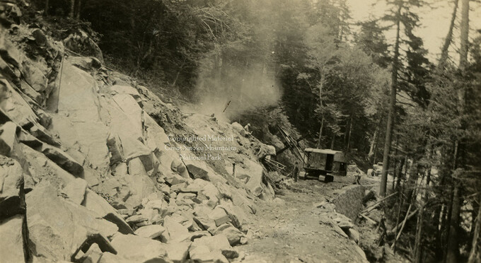
- Logging (29)
- Maps (73)
- North Carolina -- Maps (5)
- Postcards (15)
- Railroad trains (8)
- Sports (4)
- Storytelling (2)
- Waterfalls -- Great Smoky Mountains (N.C. and Tenn.) (39)
- African Americans (0)
- Artisans (0)
- Cherokee art (0)
- Cherokee artists -- North Carolina (0)
- Cherokee language (0)
- Cherokee pottery (0)
- Cherokee women (0)
- College student newspapers and periodicals (0)
- Dance (0)
- Education (0)
- Folk music (0)
- Forced removal, 1813-1903 (0)
- Gender nonconformity (0)
- Landscape photography (0)
- Mines and mineral resources (0)
- Paper industry (0)
- Pottery (0)
- Rural electrification -- North Carolina, Western (0)
- School integration -- Southern States (0)
- Segregation -- North Carolina, Western (0)
- Slavery (0)
- Weaving -- Appalachian Region, Southern (0)
- Wood-carving -- Appalachian Region, Southern (0)
- World War, 1939-1945 (0)
- Sound (7)
- StillImage (2172)
- Text (654)
- MovingImage (0)
Handbook/ 1932/ Smoky Mountains Hiking Club
Handbook/ 1932/ Smoky Mountains Hiking Club
GSMNP_13150_53_03_1139_00
Handbook/ 1932/ Smoky Mountains Hiking Club
GSMNP_13150_53_03_1139_00_a
Handbook/ 1932/ Smoky Mountains Hiking Club
GSMNP_13150_53_03_1139_01
Handbook/ 1932/ Smoky Mountains Hiking Club
GSMNP_13150_53_03_1139_02
Handbook/ 1932/ Smoky Mountains Hiking Club
GSMNP_13150_53_03_1139_03
Handbook/ 1932/ Smoky Mountains Hiking Club
GSMNP_13150_53_03_1139_03_a
Handbook/ 1932/ Smoky Mountains Hiking Club
GSMNP_13150_53_03_1139_04
Handbook/ 1932/ Smoky Mountains Hiking Club
GSMNP_13150_53_03_1139_04_a
Handbook/ 1932/ Smoky Mountains Hiking Club
GSMNP_13150_53_03_1139_05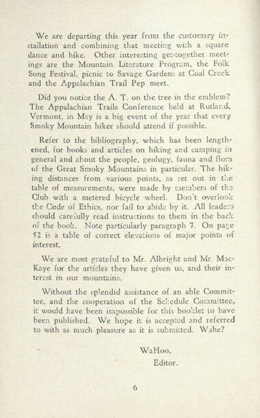
Handbook/ 1932/ Smoky Mountains Hiking Club
GSMNP_13150_53_03_1139_06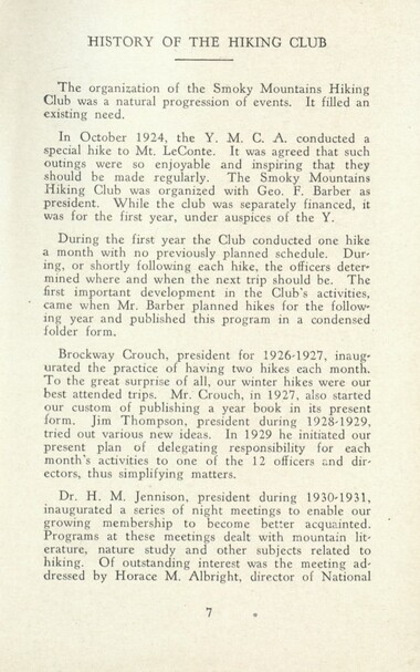
Handbook/ 1932/ Smoky Mountains Hiking Club
GSMNP_13150_53_03_1139_07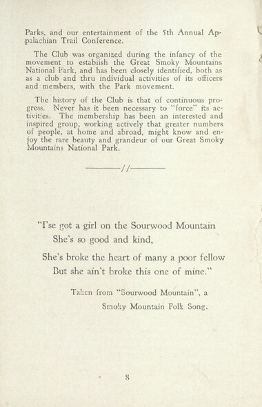
Handbook/ 1932/ Smoky Mountains Hiking Club
GSMNP_13150_53_03_1139_08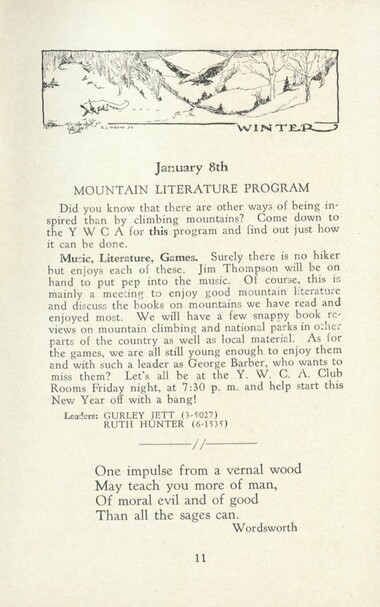
Handbook/ 1932/ Smoky Mountains Hiking Club
GSMNP_13150_53_03_1139_11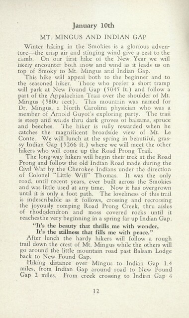
Handbook/ 1932/ Smoky Mountains Hiking Club
GSMNP_13150_53_03_1139_12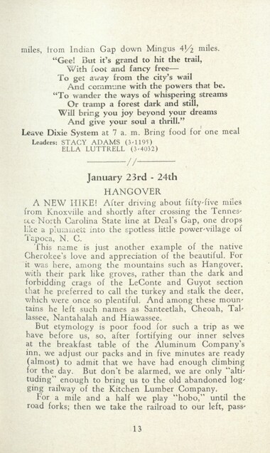
Handbook/ 1932/ Smoky Mountains Hiking Club
GSMNP_13150_53_03_1139_13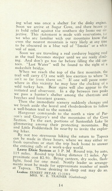
Handbook/ 1932/ Smoky Mountains Hiking Club
GSMNP_13150_53_03_1139_14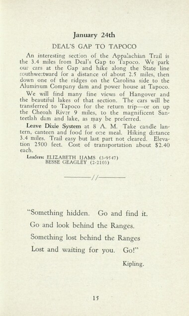
Handbook/ 1932/ Smoky Mountains Hiking Club
GSMNP_13150_53_03_1139_15
Handbook/ 1932/ Smoky Mountains Hiking Club
GSMNP_13150_53_03_1139_16
Handbook/ 1932/ Smoky Mountains Hiking Club
GSMNP_13150_53_03_1139_16_a
Handbook/ 1932/ Smoky Mountains Hiking Club
GSMNP_13150_53_03_1139_16_b
Handbook/ 1932/ Smoky Mountains Hiking Club
GSMNP_13150_53_03_1139_17
Handbook/ 1932/ Smoky Mountains Hiking Club
GSMNP_13150_53_03_1139_18
Handbook/ 1932/ Smoky Mountains Hiking Club
GSMNP_13150_53_03_1139_19
Handbook/ 1932/ Smoky Mountains Hiking Club
GSMNP_13150_53_03_1139_20
Handbook/ 1932/ Smoky Mountains Hiking Club
GSMNP_13150_53_03_1139_21
Handbook/ 1932/ Smoky Mountains Hiking Club
GSMNP_13150_53_03_1139_22
Handbook/ 1932/ Smoky Mountains Hiking Club
GSMNP_13150_53_03_1139_22_a
Handbook/ 1932/ Smoky Mountains Hiking Club
GSMNP_13150_53_03_1139_22_b
Handbook/ 1932/ Smoky Mountains Hiking Club
GSMNP_13150_53_03_1139_23
Handbook/ 1932/ Smoky Mountains Hiking Club
GSMNP_13150_53_03_1139_24
Handbook/ 1932/ Smoky Mountains Hiking Club
GSMNP_13150_53_03_1139_25
Handbook/ 1932/ Smoky Mountains Hiking Club
GSMNP_13150_53_03_1139_26
Handbook/ 1932/ Smoky Mountains Hiking Club
GSMNP_13150_53_03_1139_27
Handbook/ 1932/ Smoky Mountains Hiking Club
GSMNP_13150_53_03_1139_28
Handbook/ 1932/ Smoky Mountains Hiking Club
GSMNP_13150_53_03_1139_29
Handbook/ 1932/ Smoky Mountains Hiking Club
GSMNP_13150_53_03_1139_30
Handbook/ 1932/ Smoky Mountains Hiking Club
GSMNP_13150_53_03_1139_31
Handbook/ 1932/ Smoky Mountains Hiking Club
GSMNP_13150_53_03_1139_32
Handbook/ 1932/ Smoky Mountains Hiking Club
GSMNP_13150_53_03_1139_32_a
Handbook/ 1932/ Smoky Mountains Hiking Club
GSMNP_13150_53_03_1139_32_b
Handbook/ 1932/ Smoky Mountains Hiking Club
GSMNP_13150_53_03_1139_33
Handbook/ 1932/ Smoky Mountains Hiking Club
GSMNP_13150_53_03_1139_34
Handbook/ 1932/ Smoky Mountains Hiking Club
GSMNP_13150_53_03_1139_35
Handbook/ 1932/ Smoky Mountains Hiking Club
GSMNP_13150_53_03_1139_36
Handbook/ 1932/ Smoky Mountains Hiking Club
GSMNP_13150_53_03_1139_36_a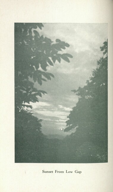
Handbook/ 1932/ Smoky Mountains Hiking Club
GSMNP_13150_53_03_1139_36_b
Handbook/ 1932/ Smoky Mountains Hiking Club
GSMNP_13150_53_03_1139_37
Handbook/ 1932/ Smoky Mountains Hiking Club
GSMNP_13150_53_03_1139_38
Handbook/ 1932/ Smoky Mountains Hiking Club
GSMNP_13150_53_03_1139_39
Handbook/ 1932/ Smoky Mountains Hiking Club
GSMNP_13150_53_03_1139_40
Handbook/ 1932/ Smoky Mountains Hiking Club
GSMNP_13150_53_03_1139_40_a
Handbook/ 1932/ Smoky Mountains Hiking Club
GSMNP_13150_53_03_1139_40_b
Handbook/ 1932/ Smoky Mountains Hiking Club
GSMNP_13150_53_03_1139_41
Handbook/ 1932/ Smoky Mountains Hiking Club
GSMNP_13150_53_03_1139_42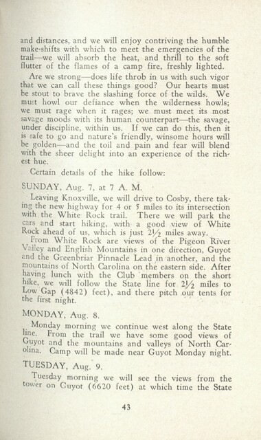
Handbook/ 1932/ Smoky Mountains Hiking Club
GSMNP_13150_53_03_1139_43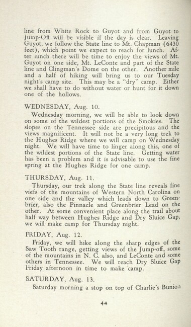
Handbook/ 1932/ Smoky Mountains Hiking Club
GSMNP_13150_53_03_1139_44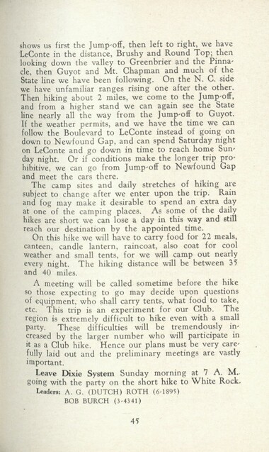
Handbook/ 1932/ Smoky Mountains Hiking Club
GSMNP_13150_53_03_1139_45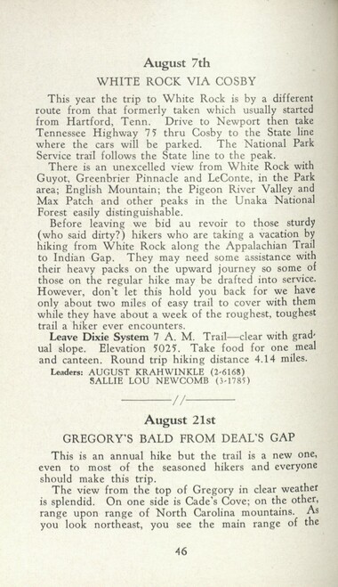
Handbook/ 1932/ Smoky Mountains Hiking Club
GSMNP_13150_53_03_1139_46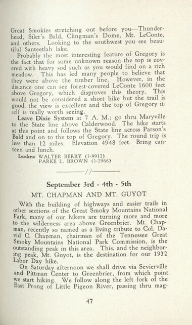
Handbook/ 1932/ Smoky Mountains Hiking Club
GSMNP_13150_53_03_1139_47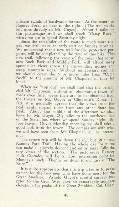
Handbook/ 1932/ Smoky Mountains Hiking Club
GSMNP_13150_53_03_1139_48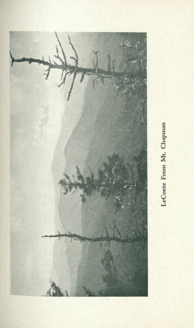
Handbook/ 1932/ Smoky Mountains Hiking Club
GSMNP_13150_53_03_1139_48_a
Handbook/ 1932/ Smoky Mountains Hiking Club
GSMNP_13150_53_03_1139_48_b
Handbook/ 1932/ Smoky Mountains Hiking Club
GSMNP_13150_53_03_1139_49
Handbook/ 1932/ Smoky Mountains Hiking Club
GSMNP_13150_53_03_1139_50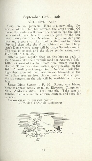
Handbook/ 1932/ Smoky Mountains Hiking Club
GSMNP_13150_53_03_1139_51
Handbook/ 1932/ Smoky Mountains Hiking Club
GSMNP_13150_53_03_1139_52
Handbook/ 1932/ Smoky Mountains Hiking Club
GSMNP_13150_53_03_1139_52_a
Handbook/ 1932/ Smoky Mountains Hiking Club
GSMNP_13150_53_03_1139_52_b
Handbook/ 1932/ Smoky Mountains Hiking Club
GSMNP_13150_53_03_1139_53
Handbook/ 1932/ Smoky Mountains Hiking Club
GSMNP_13150_53_03_1139_54
Handbook/ 1932/ Smoky Mountains Hiking Club
GSMNP_13150_53_03_1139_55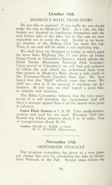
Handbook/ 1932/ Smoky Mountains Hiking Club
GSMNP_13150_53_03_1139_56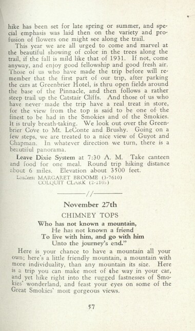
Handbook/ 1932/ Smoky Mountains Hiking Club
GSMNP_13150_53_03_1139_57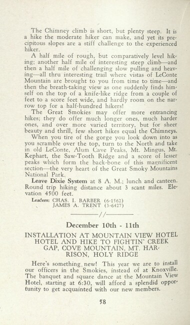
Handbook/ 1932/ Smoky Mountains Hiking Club
GSMNP_13150_53_03_1139_58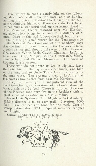
Handbook/ 1932/ Smoky Mountains Hiking Club
GSMNP_13150_53_03_1139_59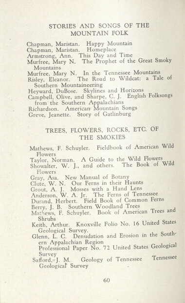
Handbook/ 1932/ Smoky Mountains Hiking Club
GSMNP_13150_53_03_1139_60
Handbook/ 1932/ Smoky Mountains Hiking Club
GSMNP_13150_53_03_1139_61
Handbook/ 1932/ Smoky Mountains Hiking Club
GSMNP_13150_53_03_1139_62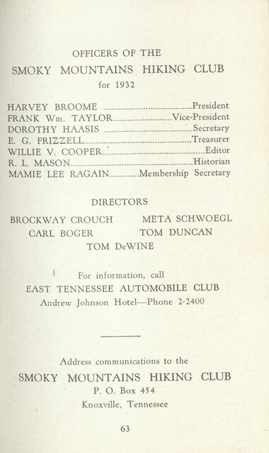
Handbook/ 1932/ Smoky Mountains Hiking Club
GSMNP_13150_53_03_1139_63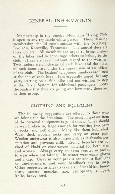
Handbook/ 1932/ Smoky Mountains Hiking Club
GSMNP_13150_53_03_1139_64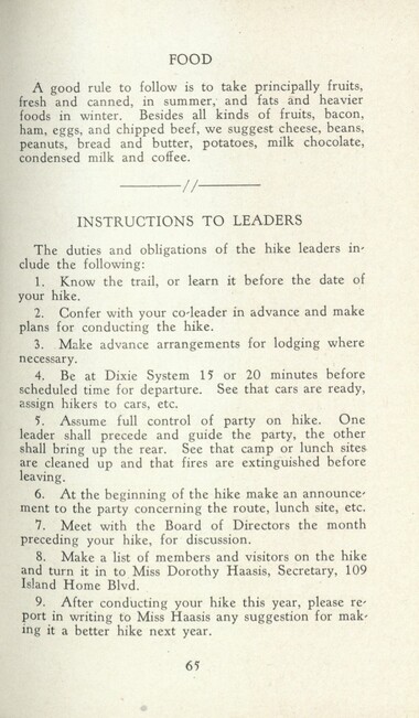
Handbook/ 1932/ Smoky Mountains Hiking Club
GSMNP_13150_53_03_1139_65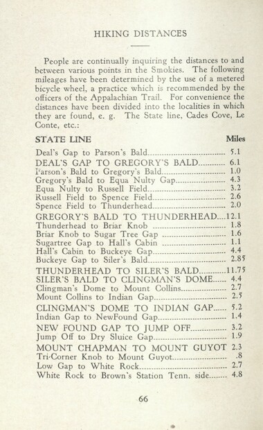
Handbook/ 1932/ Smoky Mountains Hiking Club
GSMNP_13150_53_03_1139_66
Handbook/ 1932/ Smoky Mountains Hiking Club
GSMNP_13150_53_03_1139_67
Handbook/ 1932/ Smoky Mountains Hiking Club
GSMNP_13150_53_03_1139_68
Handbook/ 1932/ Smoky Mountains Hiking Club
GSMNP_13150_53_03_1139_69_a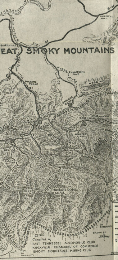
Handbook/ 1932/ Smoky Mountains Hiking Club
GSMNP_13150_53_03_1139_69_b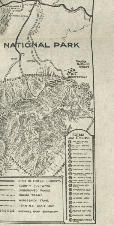
Handbook/ 1932/ Smoky Mountains Hiking Club
GSMNP_13150_53_03_1139_69_c
Handbook/ 1932/ Smoky Mountains Hiking Club
GSMNP_13150_53_03_1139_70Item’s are ‘child’ level descriptions to ‘parent’ objects, (e.g. one page of a whole book).
-
-
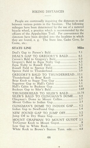
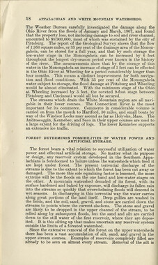
HIKING DISTANCES People are continually inquiring the distances to and between various points in the Smokies. The following mileages have been determined by the use of a metered bicycle wheel, a practice which is recommended by the officers of the Appalachian Trail. For convenience the distances have been divided into the localities in which they are found, e. g. The State line, Cades Cove, Le Conte, etc.: STATE LINE Miles Deal's Gap to Parson's Bald 5.1 DEAL'S GAP TO GREGORY'S BALD 6.1 Parson's Bald to Gregory's Bald 1.0 Gregory's Bald to Equa Nulty Gap 4.3 Equa Nulty to Russell Field 3.2 Russell Field to Spence Field 2.6 Spence Field to Thunderhead 2.0 GREGORY'S BALD TO THUNDERHEAD....12.1 Thunderhead to Briar Knob 1.8 Briar Knob to Sugar Tree Gap 1.6 Sugartree Gap to Hall's Cabin 1.1 Hall's Cabin to Buckeye Gap 4.4 Buckeye Gap to Siler's Bald 2.85 THUNDERHEAD TO SILER'S BALD 11.75 SILER'S BALD TO CLINGMAN'S DOME 4.4 Clingman's Dome to Mount Collins 2.7 Mount Collins to Indian Gap 2.5 CLINGMAN'S DOME TO INDIAN GAP 5.2 Indian Gap to NewFound Gap 1-4 NEW FOUND GAP TO JUMP OF'F 3.2 Jump Off to Dry Sluice Gap 1-9 MOUNT CHAPMAN TO MOUNT GUYOT 2.3 Tri-Corner Knob to Mount Guyot 8 Low Gap to White Rock 2.7 White Rock to Brown's Station Tenn. side 4.8 66
Object’s are ‘parent’ level descriptions to ‘children’ items, (e.g. a book with pages).
-
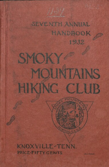
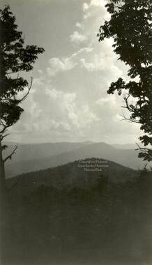
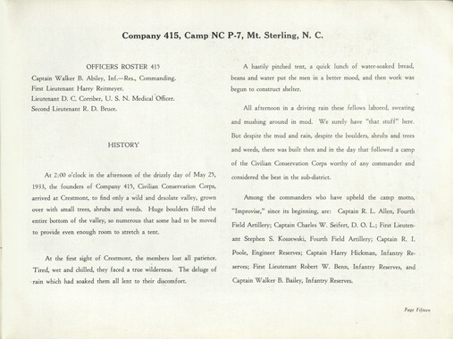
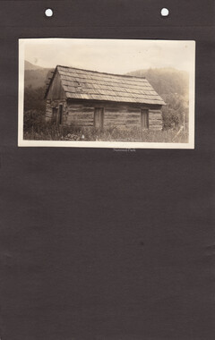
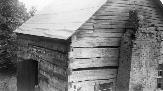
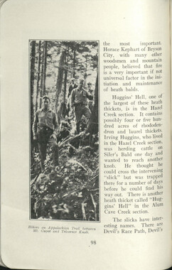
In 1926, the Smoky Mountains Hiking Club began to print an annual handbook that outlined scheduled hikes for each month of the year, including winter. This 1932 handbook was collected by George Masa (1881-1933), a photographer active in the Appalachian Trail Club and in the movement to establish the Great Smoky Mountains National Park. The Smoky Mountains Hiking Club was formed after a group of outdoor enthusiasts hiked up to Mount LeConte in October 1924. Enjoying the spectacular views, the group returned to establish a formal hiking club to sponsor regularly-scheduled hikes into the Great Smoky Mountains.
-
Related items
-
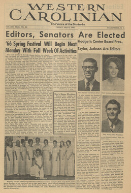
Western Carolinian Volume 33 Number 38

-
Western Carolinian Volume 46 Number 15, December 4, 1980

-
Western Carolinian Volume 52 Number 11, October 30, 1986

-
Western Carolinian Volume 39 Number 51

-
Western Carolinian Volume 43 Number 12
-
Great Smoky Mountains National Park North Carolina-Tennessee

-
Western Carolinian Volume 12 Number 05
-
Western Carolinian Volume 46 Number 02
-
Western Carolinian Volume 52 Number 19

-
Western Carolinian Volume 22 Number 08

-
Western Carolinian Volume 64 (65) Number 25

-
Southern Highlanders

-
Secretary of Agriculture report on watersheds
-
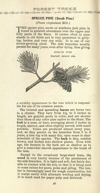
Common forest trees of North Carolina
-
Western Carolinian Volume 48 Number 25

-
Western Carolinian Volume 63 (64) Number 05

-
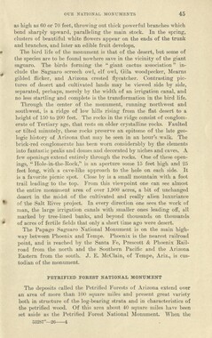
Glimpses of our National Monuments
-
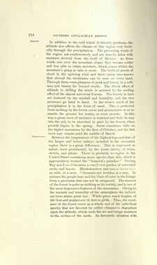
Report of the Secretary of Agriculture in relation to the forests, rivers, and mountains of the southern Appalachian region
-
Western Carolinian Volume 46 Number 09, October 22, 1981

-
Western Carolinian Volume 31 Number 24
-
Western Carolinian Volume 05 Number 02
-
Western Carolinian Volume 19 Number 03

-
Western Carolinian Volume 16 Number 09 (10)
-
Western Carolinian Volume 42 Number 64

-
Western Carolinian 1980 Fall Special Edition

-
Western Carolinian Volume 50 Number 02

-
Civilian Conservation Corps Annual: District "C"
-
Western Carolinian Volume 35 Number 31

-
Western Carolinian Volume 32 Number 18

-
Report of the North Carolina Park Commission

-
Western Carolinian Volume 57 Number 04

-
Western Carolinian Summer Volume 02 Number 06

Part of Collection
Great Smoky Mountains - A Park for America
-
Blanket Mountain
-
Memories of District C: Civilian Conservation Corps
-
Strategies for supporting the Appalachian National Park movement

-
Wilburn photograph album
-
Minutes of Meetings of the Appalachian National Park Association

-
Correspondence regarding Horace Kephart collection
-
Report of the Secretary of Agriculture in relation to the forests, rivers, and mountains of the southern Appalachian region

-
Report of the Secretary of Agriculture in relation to the forests, rivers, and mountains of the southern Appalachian region

-
Minutes of Meetings of the Appalachian National Park Association

-
Correspondence regarding organizational meetings of the Appalachian National Park Association

-
Common elder (Sambucus canadensis)

-
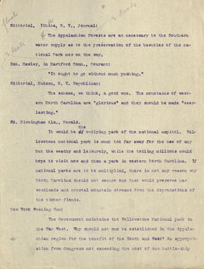
Editorials to support an Appalachian National Park

-
Guide to the Great Smoky Mountains National Park

-
Financial receipts and expenditures, 1902

-
Fields and fences, Cataloochee, N.C.

-
Cataloochee tract 214: Eldredge Caldwell – Levi

-
Great Smoky Mountains National Park / Land of the Everlasting Hills
-
Cataloochee tract 251: James H. Hannah
-
Activities of the Appalachian National Park Association and the Appalachian National Forest Reserve Association: 1899-1906
-
Western North Carolina R. R. Scenery: "Land of the Sky"

-
Cataloochee tract 292: J. L. C. Messer

-
Handbook/ 1932/ Smoky Mountains Hiking Club
-
Cataloochee tract 231: W. G. B. Messer

-
Cataloochee tract 292: J. L. C. Messer

-
Charlies Bunion
-
Editorials commenting on the Appalachian National Park movement
-
Guide to the Great Smoky Mountains National Park
-
Photo Album of the Great Smokey Mountains

-
Financial receipts and expenditures, 1900
-
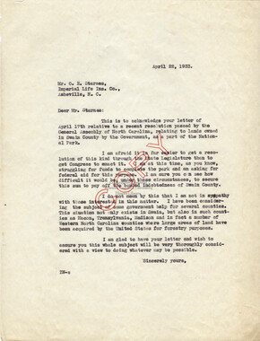
Correspondence between O. E. Starnes and Zebulon Weaver, April, 1933
-
Inventory of Horace Kephart collection

-
Road construction with earth mover