Western Carolina University (20)
View all
- Canton Champion Fibre Company (2308)
- Cherokee Traditions (293)
- Civil War in Southern Appalachia (165)
- Craft Revival (1942)
- Great Smoky Mountains - A Park for America (2767)
- Highlights from Western Carolina University (430)
- Horace Kephart (941)
- Journeys Through Jackson (154)
- LGBTQIA+ Archive of Jackson County (24)
- Oral Histories of Western North Carolina (314)
- Picturing Appalachia (6772)
- Stories of Mountain Folk (413)
- Travel Western North Carolina (160)
- Western Carolina University Fine Art Museum Vitreograph Collection (129)
- Western Carolina University Herbarium (92)
- Western Carolina University: Making Memories (708)
- Western Carolina University Publications (2283)
- Western Carolina University Restricted Electronic Theses and Dissertations (146)
- Western North Carolina Regional Maps (71)
- World War II in Southern Appalachia (131)
University of North Carolina Asheville (6)
View all
- 1950s (6)
- 1960s (11)
- 1970s (8)
- 1980s (14)
- 1990s (5)
- 2000s (38)
- 2010s (4)
- 1600s (0)
- 1700s (0)
- 1800s (0)
- 1810s (0)
- 1820s (0)
- 1830s (0)
- 1840s (0)
- 1850s (0)
- 1860s (0)
- 1870s (0)
- 1880s (0)
- 1890s (0)
- 1900s (0)
- 1910s (0)
- 1920s (0)
- 1930s (0)
- 1940s (0)
- 2020s (0)
- Buncombe County (N.C.) (5)
- Clay County (N.C.) (3)
- Graham County (N.C.) (2)
- Haywood County (N.C.) (3)
- Henderson County (N.C.) (1)
- Jackson County (N.C.) (27)
- Macon County (N.C.) (15)
- McDowell County (N.C.) (3)
- Polk County (N.C.) (1)
- Swain County (N.C.) (3)
- Transylvania County (N.C.) (1)
- Yancey County (N.C.) (2)
- Appalachian Region, Southern (0)
- Asheville (N.C.) (0)
- Avery County (N.C.) (0)
- Blount County (Tenn.) (0)
- Cherokee County (N.C.) (0)
- Great Smoky Mountains National Park (N.C. and Tenn.) (0)
- Knox County (Tenn.) (0)
- Knoxville (Tenn.) (0)
- Lake Santeetlah (N.C.) (0)
- Madison County (N.C.) (0)
- Mitchell County (N.C.) (0)
- Qualla Boundary (0)
- Rutherford County (N.C.) (0)
- Watauga County (N.C.) (0)
- Waynesville (N.C.) (0)
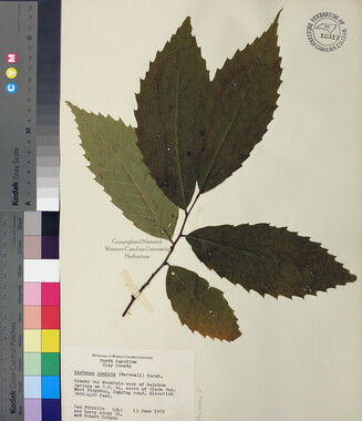
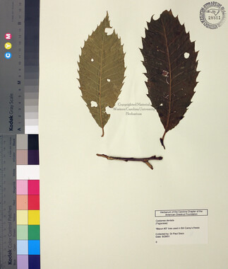
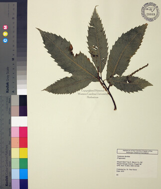
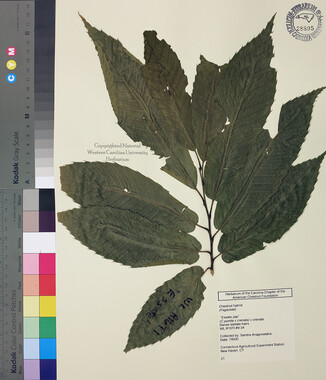
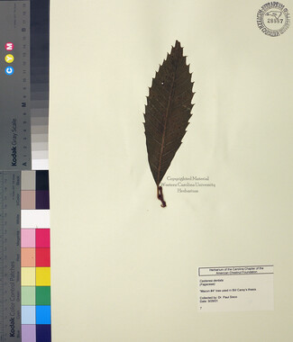
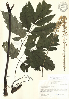
- Specimens (92)
- Aerial Photographs (0)
- Aerial Views (0)
- Albums (books) (0)
- Articles (0)
- Artifacts (object Genre) (0)
- Biography (general Genre) (0)
- Cards (information Artifacts) (0)
- Clippings (information Artifacts) (0)
- Crafts (art Genres) (0)
- Depictions (visual Works) (0)
- Design Drawings (0)
- Drawings (visual Works) (0)
- Envelopes (0)
- Facsimiles (reproductions) (0)
- Fiction (general Genre) (0)
- Financial Records (0)
- Fliers (printed Matter) (0)
- Glass Plate Negatives (0)
- Guidebooks (0)
- Internegatives (0)
- Interviews (0)
- Land Surveys (0)
- Letters (correspondence) (0)
- Manuscripts (documents) (0)
- Maps (documents) (0)
- Memorandums (0)
- Minutes (administrative Records) (0)
- Negatives (photographs) (0)
- Newsletters (0)
- Newspapers (0)
- Occupation Currency (0)
- Paintings (visual Works) (0)
- Pen And Ink Drawings (0)
- Periodicals (0)
- Personal Narratives (0)
- Photographs (0)
- Plans (maps) (0)
- Poetry (0)
- Portraits (0)
- Postcards (0)
- Programs (documents) (0)
- Publications (documents) (0)
- Questionnaires (0)
- Scrapbooks (0)
- Sheet Music (0)
- Slides (photographs) (0)
- Sound Recordings (0)
- Speeches (documents) (0)
- Text Messages (0)
- Tintypes (photographs) (0)
- Transcripts (0)
- Video Recordings (physical Artifacts) (0)
- Vitreographs (0)
- StillImage (92)
- MovingImage (0)
- Sound (0)
- Text (0)
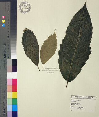
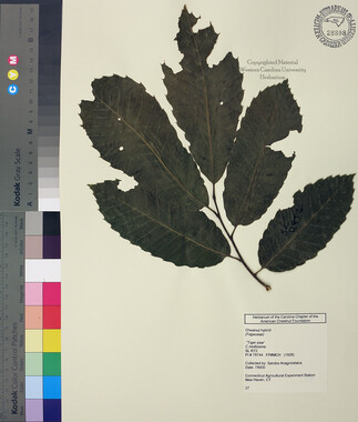
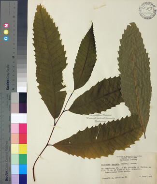
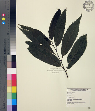
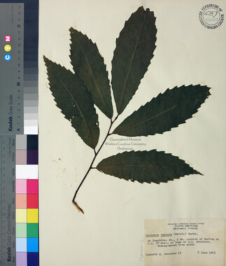
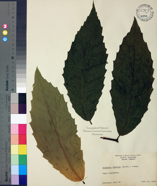
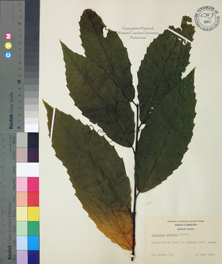
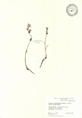
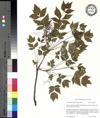
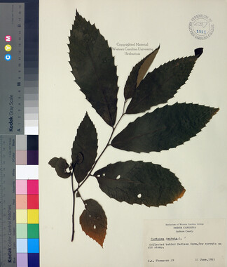
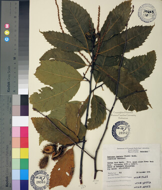
Monotropa uniflora

-
Jackson County: Cullowhee. Landmark Learning Stewardship Forest property of Mairi & Justin Padgett. Forested tract above last house at end of paved portion of Cane Creek Rd off Old Cullowhee Rd. Upland mixed hardwood forest. Middle of flat part of trail at "Challenge Course." Elev. 2618 ft. Coordinates: 35.346389 N 83.165556 W.
-


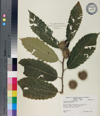
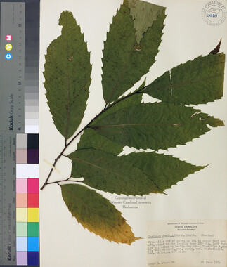


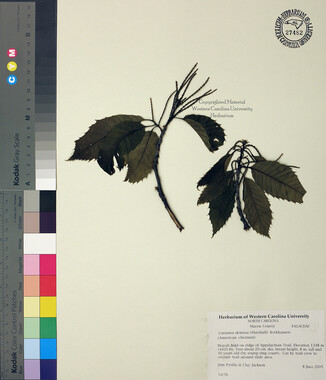
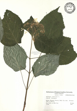
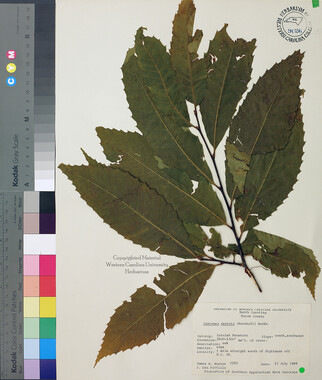


Part of Collection
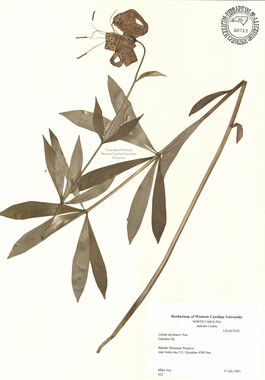
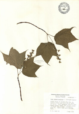
Western Carolina University Herbarium